The Geography of KLCC: Inside Kuala Lumpur's Golden Triangle
To understand a KLCC address, read the map. The enclave's geography — its edges, its layers and its arteries — is what makes this corner of Kuala Lumpur singular.
The Golden Triangle & the KLCC enclave
KLCC anchors the north-eastern point of Kuala Lumpur's Golden Triangle — the commercial heart bounded loosely by Jalan Ampang, Jalan Tun Razak and the Bukit Bintang corridor. Within it, the KLCC enclave gathers around the Petronas Twin Towers and the 50-acre KLCC Park, threaded by Jalan Ampang and the smaller Jalan Saloma.
The layers of the enclave
Read it in layers: retail at its heart (Suria KLCC, Avenue K); a ring of embassies and five-star hotels; a wall of corporate towers — AmBank, Maxis, Public Bank; and world-class healthcare just beyond. Few square kilometres anywhere in the region pack so much into walking distance.
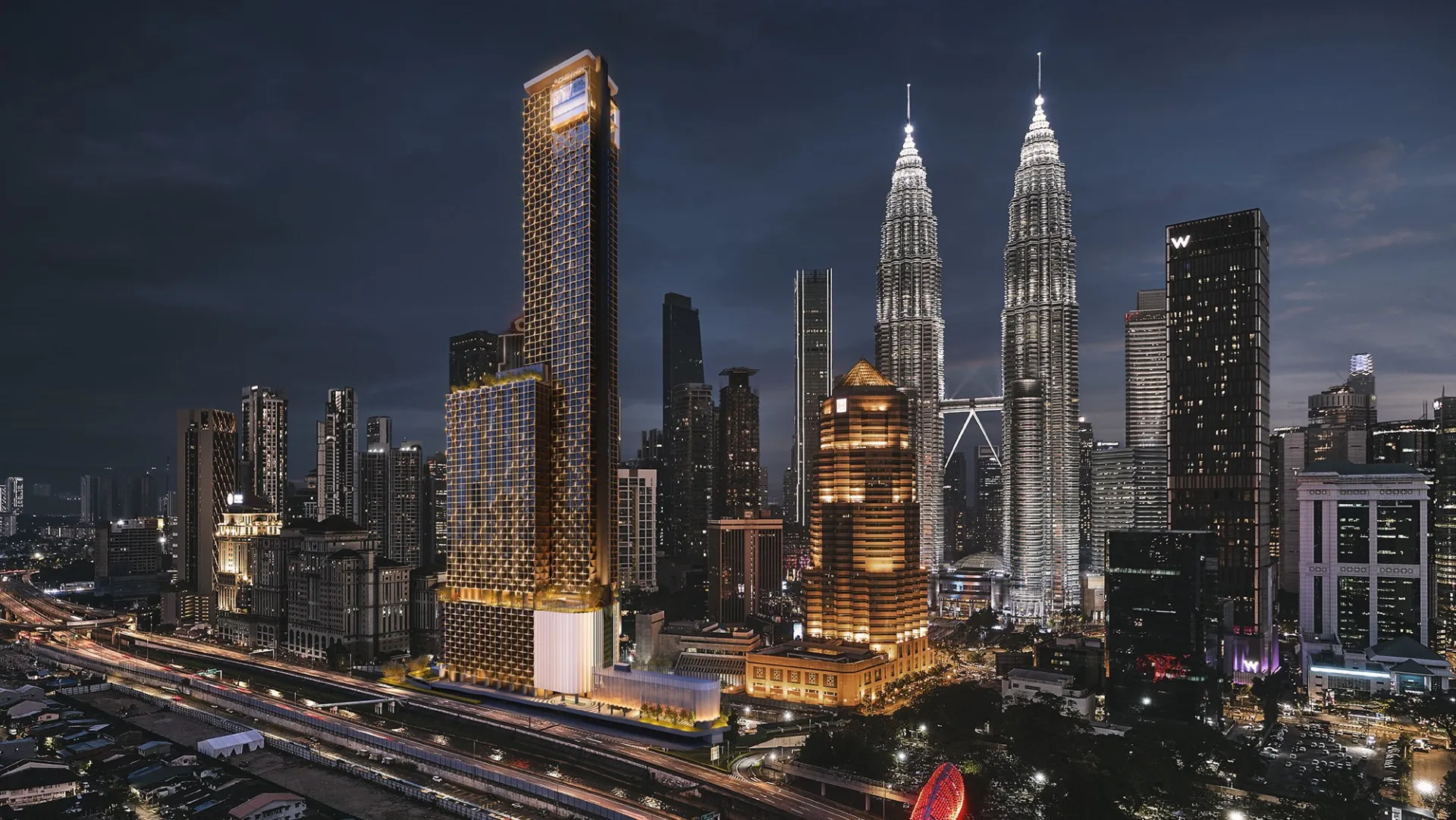
How Divine KLCC fits the map
Divine KLCC sits off Jalan Saloma, 400 metres from the Towers, framed between MRT Persiaran KLCC and LRT KLCC and threaded to five expressways. On the map of the enclave, it occupies the rarest position of all — inside the core, yet on a quieter street.
This insight is published by Divine KLCC as an independent project resource. Estimated distances are approximate. Please refer to the developer's documentation and the Sale and Purchase Agreement for binding details.